Parking: | tiedowns |
Airframe service: | NONE |
Powerplant service: | NONE |
Bottled oxygen: | NONE |
Bulk oxygen: | NONE |
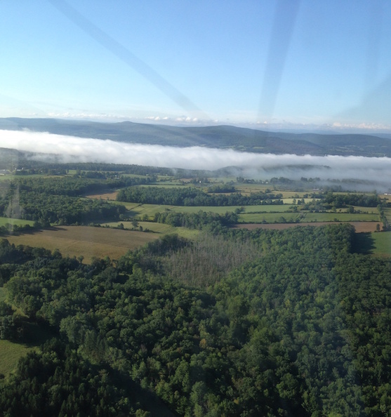
FAA LID: 4B1 is a privately owned, public use airport in Schenectady County, New York, United States.
located near Duanesburg, a hamlet in the Town of Duanesburg.
This airport is included in the National Plan of Integrated Airport Systems for 2011–2015, which categorized it as a general aviation facility.
Dimensions: | 2600 x 45 ft. / 792 x 14 m | ||
Surface: | asphalt, in poor condition RY 10/28 BROKEN ASPH & LOOSE MATERIAL ENTIRE LENGTH OF RY. CHECK WITH AMGR FOR CURRENT CONDITION AT 518-421-8881. |
||
RUNWAY 10 | RUNWAY 28 | ||
Latitude: | 42-45.580347N | 42-45.603402N | |
Longitude: | 074-08.369153W | 074-07.788977W | |
Elevation: | 700.0 ft. | 714.0 ft. | |
Gradient: | 0.5% UP | ||
Traffic pattern: | left | left | |
Runway heading: | 101 magnetic, 087 true | 281 magnetic, 267 true | |
Markings: | none | none | |
Runway end identifier lights: | no | no | |
Obstructions: | 7 ft. road, 200 ft. from runway RY 10 15 FT ROAD 0 TO 200 FT FM RY 35 TO 125 FT RT. |
60 ft. trees, 375 ft. from runway, 114 ft. right of centerline, 2:1 slope to clear RY 28 20 FT HILL AT RY END 80 FT RT; 60 FT TREES 10-150 FT FM RY 90 FT RT; 90 FT TREE, 42 FT FM RY 122 FT RT. |
CTAF/UNICOM: | 123.0 |
WX AWOS-3 at SCH (11 nm NE): | 119.275 (518-399-6586) |
ASOS at ALB (15 nm E): | PHONE 518-464-6423 |
WX AWOS-3 at NY0 (17 nm NW): | 119.225 (518-762-0322) |
Click for the latest NOTAMs |
Airport use: | Open to the public |
Activation date: | 01/1947 |
Sectional chart: | NEW YORK |
Control tower: | no |
ARTCC: | BOSTON CENTER |
FSS: | BURLINGTON FLIGHT SERVICE STATION |
NOTAMs facility: | BTV (NOTAM-D service available) |
Attendance: | UNATTENDED |
Pattern altitude: | 1514 ft. MSL |
Wind indicator: | yes |
Segmented circle: | no |
Parking: | tiedowns |
Airframe service: | NONE |
Powerplant service: | NONE |
Bottled oxygen: | NONE |
Bulk oxygen: | NONE |
VOR radial/distance | VOR name | Freq | Var | |||
---|---|---|---|---|---|---|
ALB r286/14.6 | ALBANY VORTAC | 115.30 | 13W | |||
CAM r262/37.5 | CAMBRIDGE VOR/DME | 115.00 | 14W |
NDB name | Hdg/Dist | Freq | Var | ID | |||||
---|---|---|---|---|---|---|---|---|---|
HUNTER | 251/10.5 | 356 | 14W | HEU | .... . ..- | ||||
JOHNSTOWN | 163/16.8 | 523 | 14W | JJH | .--- .--- .... | ||||
PHILMONT | 342/35.4 | 272 | 13W | PFH | .--. ..-. .... |
FAA Identifier: | 4B1 |
Lat/Long: | 42-45-35.5000N / 074-08-04.7000W 42-45.591667N / 074-08.078333W 42.7598611 / -74.1346389 (estimated) |
Elevation: | 714 ft. / 218 m (estimated) |
Variation: | 14W (1985) |
Time zone: | UTC -4 (UTC -5 during Standard Time) |
Zip code: | 12056 |